Spring 2026 OCS 4001/7001
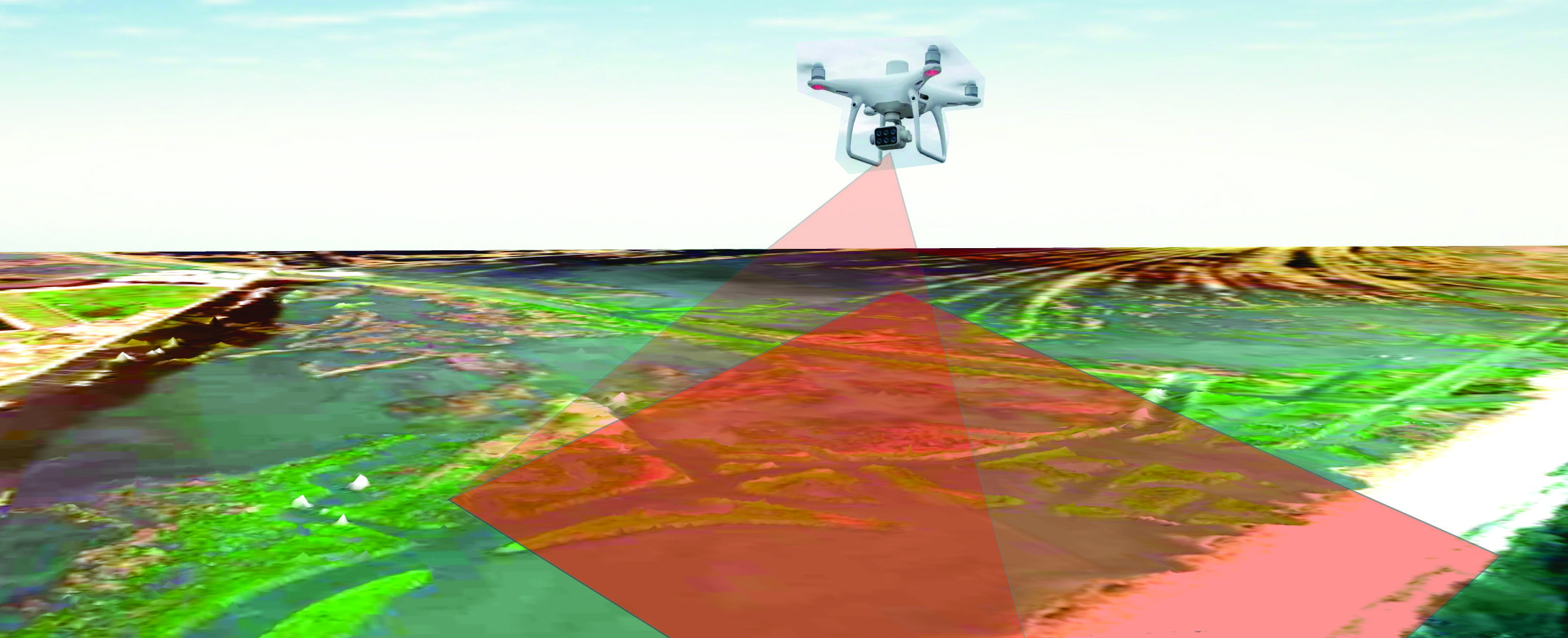
Coastal mapping using drones with optical and lidar sensors
Instructor: Dr. Marcelo Cohen (Adjunct Professor, DOCS)
Office Hours (virtually via Zoom): By appointment only (E-mail: mccohen@lsu.edu)
Class Times & Location: Monday - Friday, 10:30 am -1200 pm (in-person)
Catalog Statement: Remote Sensing of Coastal Landforms and Vegetation Using Drones Also offered as OCS 4001/7001. Use of drones with optical and lidar sensors in biology, oceanography, geology, architecture, and civil engineering. Coastal areas will be used as examples for training to characterize vegetation structure (vegetation type, height and biomass) and geomorphology (sediment type, topography and volume).
Textbooks:
(1) Remote Sensing. Principles, Interpretation, and Applications. Floyd F. Sabins, Jr.
(2) Remote Sensing of Coastal Environments. Qihao Weng.
Course description: This course involves drone data processing techniques to generate point clouds with spectral characteristics and high planialtimetric precision to individualize and quantify geomorphological (area, elevation and volume) and vegetation (area, vegetation stature and biomass) units. Data are stored in a Geographic Information System to support different purposes. The course also addresses techniques using ground control points to validate data obtained by aerial photogrammetry.
Modality of Instruction:
Per LSU policy, this course will be taught in-person in the classroom.
Course requirements:
Course requirements:
Course requirements:
(1) 1º Exam (Feb 3, Tuesdays Thursday, 10:30 – 12:50 p.m.) 25%
(2) 1º Report (Feb 19, Thursday, 10:30 – 12:50 p.m.) 25%
(3) Oral presentations 25%
(4) 2º Exam (Feb 26, Thursday, 10:30 – 12:50 p.m.) 13%
(5) 2º Report (Feb 26, Thursday, 10:30 – 12:50 p.m.) 12%
Exams:
All exams have subjective and multiple choice questions. Exams will be taken in the classroom. Make-up exams will not be given unless under truly exceptional circumstances (such as hospitalization or medical emergency) with written proofs. The plus/minus notation system will assign the final letter grade.
Oral presentations
Each student will be allocated 15 minutes to make a Powerpoint presentation about a topic based on scientific articles on the application of drone data in geology, biology, oceanography, architecture, archeology, and civil engineering,.
Reports
Each student will prepare 2 reports with Digital Elevation Models, classification and quantification of geomorphological and vegetation units based on images (NIR, R,G,B) and equations that consider terrain elevation, vegetation height and spectral characteristics (NIR,R,G,B) of the Dense Point Cloud.
Absences:
Guidelines for excused absences can be found in Policy Statement 22. This policy applies to students experiencing symptoms of COVID-19 or in quarantine as determined by the LSU Daily Symptom Checker. Please e-mail me at mccohen@lsu.edu if you have an excused absence and need to make up coursework.
Food and Drink: Food and drink are prohibited in the classrooms.
Class Schedule
Week 1-2
Drone vs Satellites, Photogrammetry vs Lidar, safe parameters for drone flights, drone components, choosing the drones (P4 Adv., P4 RTK, P4 Multispectral, DJI Matrice with Lidar sensor) for each objective.
Week 3
Calibration, planning and execution of automatic missions over terrain dominated by forests, buildings, water, rocks, or sediments.
Week 4
History of aerophotogrammetry, applications, data processing, generation of orthomosaics and point clouds, and divergence of planialtimetric data based on ground control points and aerophotogrammetry using the Agisoft Metashape software.
Week 5
Images and point cloud classification based on altimetric and multispectral data (Vegetation Index, Near-Infrared, Red, Green and Blue).
Week 6-7
Determining area, terrain elevation, vegetation height, sedimentary volume, erosion and inundation in a Geographic Information System.
- Primary Instructor: Marcelo Cancela Lisboa Cohen